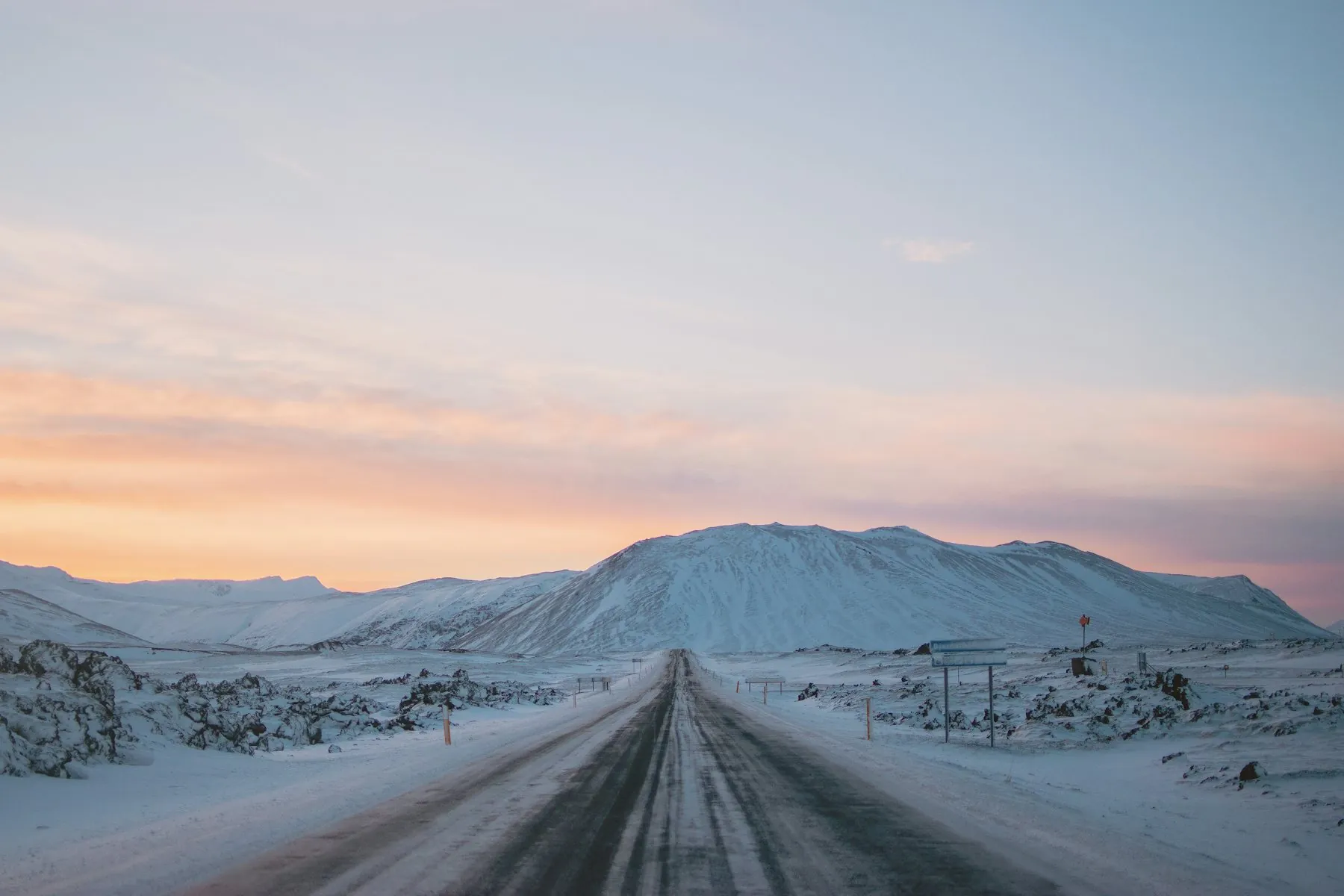
65.65 N · 20.24 W · Húnabyggð, north Iceland
Blönduós — the primary site
A municipal business park zoned for light industrial use with an approved local plan. Away from Iceland's main seismic zones and the Reykjanes fissure system with plenty of room to expand. This is the best site for ground stations and larger infrastructure.
- Planning
- Approved local plan
zoned for light industrial - Capacity
- At least 8 radio dishes. More space available to the north.
- Grid power and fibre
- Already connected
Blanda hydro, 165 MW - Groundworks and foundations
- Up to 8 weeks
Site and land
What the parcel is and what may be built on it.
- Position
65.65°N, 20.24°W (WGS84)
- Planning status
Business park with an approved local plan (deiliskipulag). Antenna foundations, freestanding technical rooms and containerised units are permitted uses.
- Height and form constraints
Structures to 12m; roof pitch capped at 14°; fencing to 3m subject to planning-board approval. Radomes and antenna structures are assessed against these limits case by case.
- Heritage and environment
No registered archaeological sites on the parcel. No protected habitat above the statutory threshold.
- Access
Gravel road access from the municipal road network; heavy transport route confirmed for containerised delivery. Approximately three hours by road from Reykjavík and from Keflavík International Airport.
- Capacity
Laid out to avoid obstruction of sight-lines between customers, the currently active site has space for at least nine medium-sized antennae, multiple telescopes and numerous small sensors. Additional space is available directly adjacent.
- Operational area
Defined per customer in the Site Schedule as a bounded operational area rather than a share of an undivided site, so what you have exclusive use of is drawn rather than described.
- Initial term
A long-term contract, with the initial term and the renewal mechanics set per customer in the Site Schedule. Your removal rights survive termination however it arises.
- Neighbouring use
An operating data centre campus adjoins the business park. The only other neighbouring user is a satellite ground station operator.
Power
What the grid is, and what we will and will not promise about it.
- Generation mix
Iceland generated approximately 20,100 GWh in 2024 — 70.6% hydro, 29.4% geothermal.
- Local generation
Blanda hydroelectric station, 165 MW installed and about 990 GWh a year, commissioned 1991, sits in the same catchment.
- Transmission
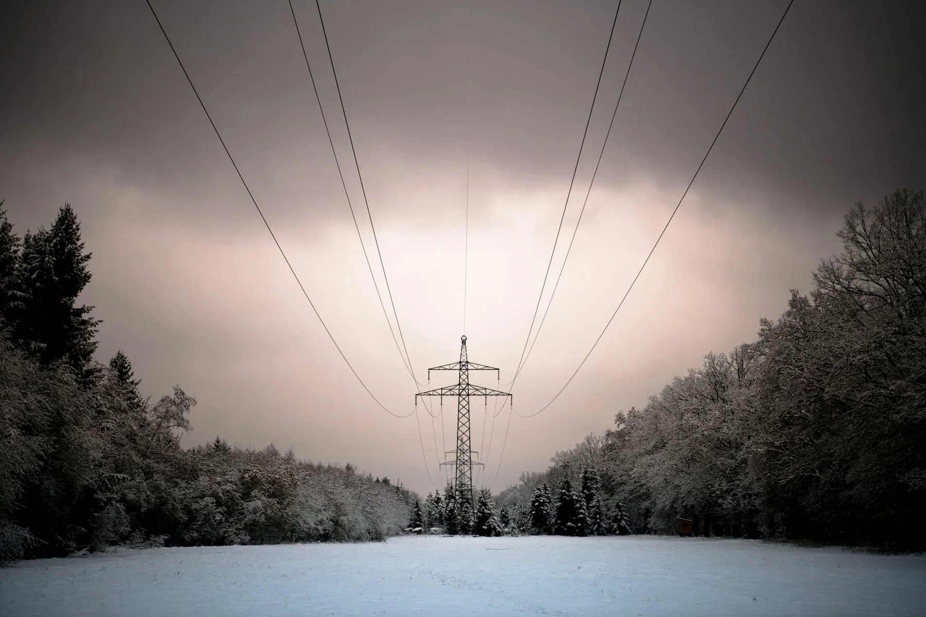
Landsnet operates the national transmission system. The district is served by the national backbone line; a new 114km transmission line through the Húnavatnssýslur district was reported in November 2025.
- Green certification
Verified Green Hosting is available as a priced option: a Landsvirkjun Guarantee of Origin covering your agreed annual consumption, certified annually for CSRD and Scope 2 reporting.
Connectivity
Four independent submarine cables, three cable landing sites and good onshore fibre connectivity.
| System | Capacity (Tbps) | Fibre pairs | Landing |
|---|---|---|---|
| IRIS | 108 | 6 | Galway, Ireland |
| DANICE | 35 | 4 | Denmark |
| FARICE-1 | 11 | 2 | Caithness, Scotland |
| Greenland Connect | 13 | 2 | Nuuk, Greenland |
Terrestrial backhaul runs on the national fibre ring that follows Route 1. This gives two redundant routes to international backhaul.
Design basis
The environmental numbers your structural engineer needs, including the one that catches people out.
- Basic wind velocity
36.0 m/s (ÍST EN 1991-1-4 national annex)
- Derived 50-year peak gust
199–224 km/h at 10m depending on terrain category
- National record gust
74.2 m/s (267 km/h), Gagnheiði, January 1995
- Temperature
Annual mean 2.7°C; July 9.5°C; January −2.3°C; record range −24.3 to 23.2°C
- Precipitation
Approximately 475mm a year
- Seismic
Away from both the South Iceland Seismic Zone and the Tjörnes Fracture Zone. Site-specific reference acceleration is provided with the structural pack rather than quoted here.
- Volcanic
No exposure comparable to the Reykjanes peninsula. This is a principal reason Blönduós is the primary site.
From signature to operational
The build clock at Blönduós, what sets it, and the one season that changes it.
-
01
Structural drawing agreed with your vendorYour clock
-
02
Building permit against the approved local plan2–6 weeks, parallel
-
03
Excavation and soil replacement1–2 weeks
-
04
Formwork, reinforcement, pour1–2 weeks
-
05
Cure to design strength before loading4 weeks
-
06
In-plot power and fibre to the pad2–3 weeks, parallel
-
07
Handover for your installation1 week
Grid power and fibre are already connected to the site. Those two items are what normally put a greenfield ground station into years rather than months — a transmission connection request and a fibre build are not things a landlord can compress. Here they are done. What is left is distribution inside the plot, ground preparation and the foundation.
Groundworks and concrete contractors are established in the district and available to us. We are not waiting on a specialist crew to travel, and none of the work above is specialised — it is excavation, possible soil replacement, and a reinforced pour to your engineer’s drawing.
The step we do not control is the first one. Agreeing the structural drawing with your antenna vendor is your clock, and in our experience it is longer than ours.
8–16 weeks from an agreed structural drawing to a foundation ready to accept your antenna, for a standard dedicated deployment outside the winter pour window. The critical path above is typically eight weeks of actual work; we commit to sixteen because the permit and the weather are not ours to control, and we would rather beat a conservative date than explain a missed optimistic one.
Related
Two things that sit next to this page.
Next step
Get the site data pack.
Everything on this page plus the parts that do not belong on a web page: the parcel drawing, the planning conditions in full, the grid connection point, and the coverage model with its method. Sent under NDA if you prefer.